

Latest Story
-

The dress and the rabbit
Alan Stevenson | April 25, 2024Optical illusions and ambiguous pictures are more than parlour puzzles but can open our eyes to the scientific study of human perception and the role our brains play in shaping what we think we see.
-
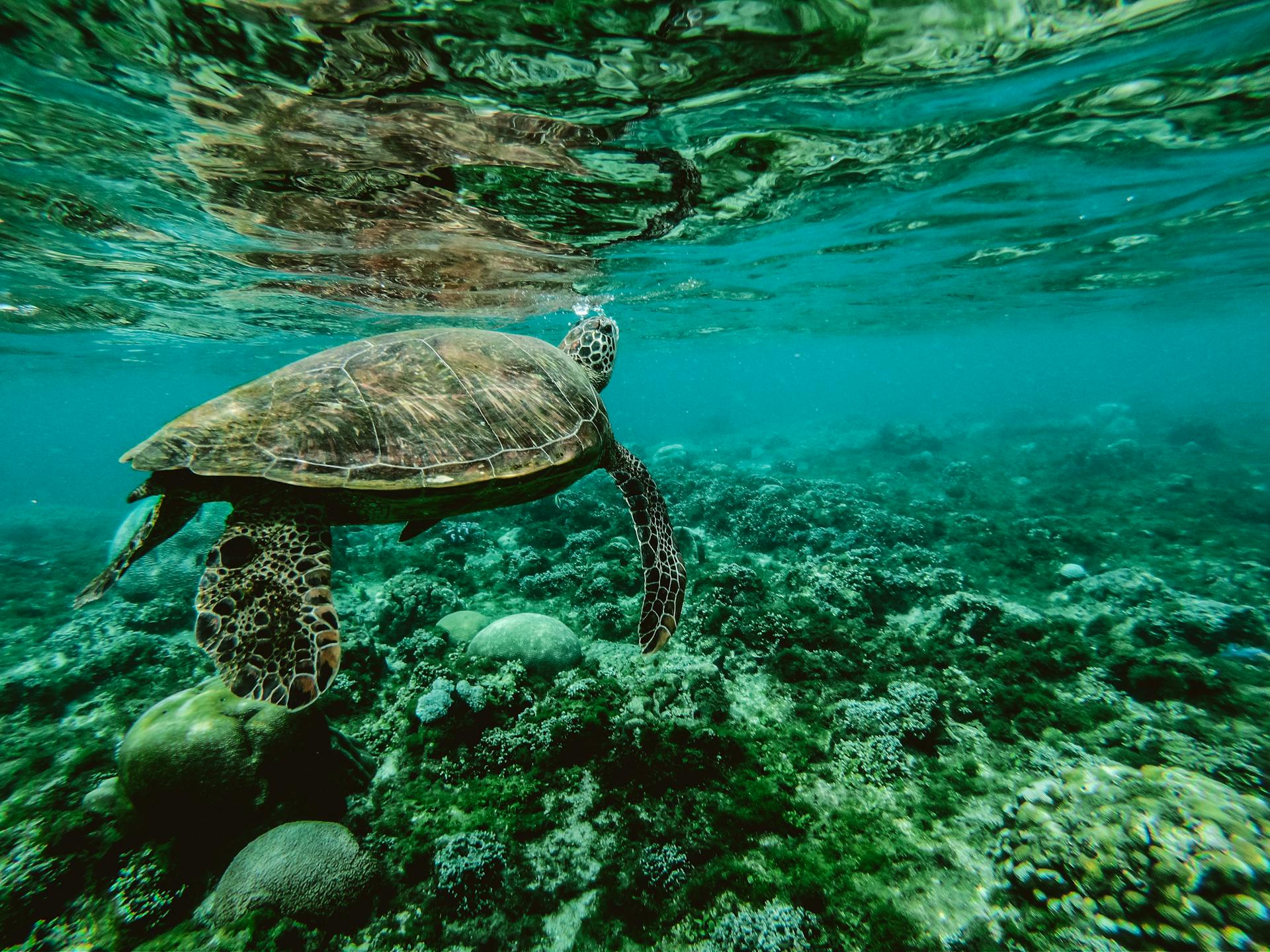
Robots on the reef
Open Forum | April 25, 2024QUT researchers have developed a robot to capture images of baby tank-grown corals destined for the Great Barrier Reef. The system will help keep the growing corals happy and healthy before they are deployed and save researchers thousands of hours of coral counting time.
-

Not in my name
Roger Chao | April 25, 2024The appalling events in Bondi Junction have given us all pause for thought in recent days, in a world where such horrors are all too common.
-

ESG investing in people and the planet
Rosemary Addis | April 24, 2024Environmental and social issues need to be considered together for sustainable finance reforms to contribute positively to the wellbeing of the planet and its people.
-
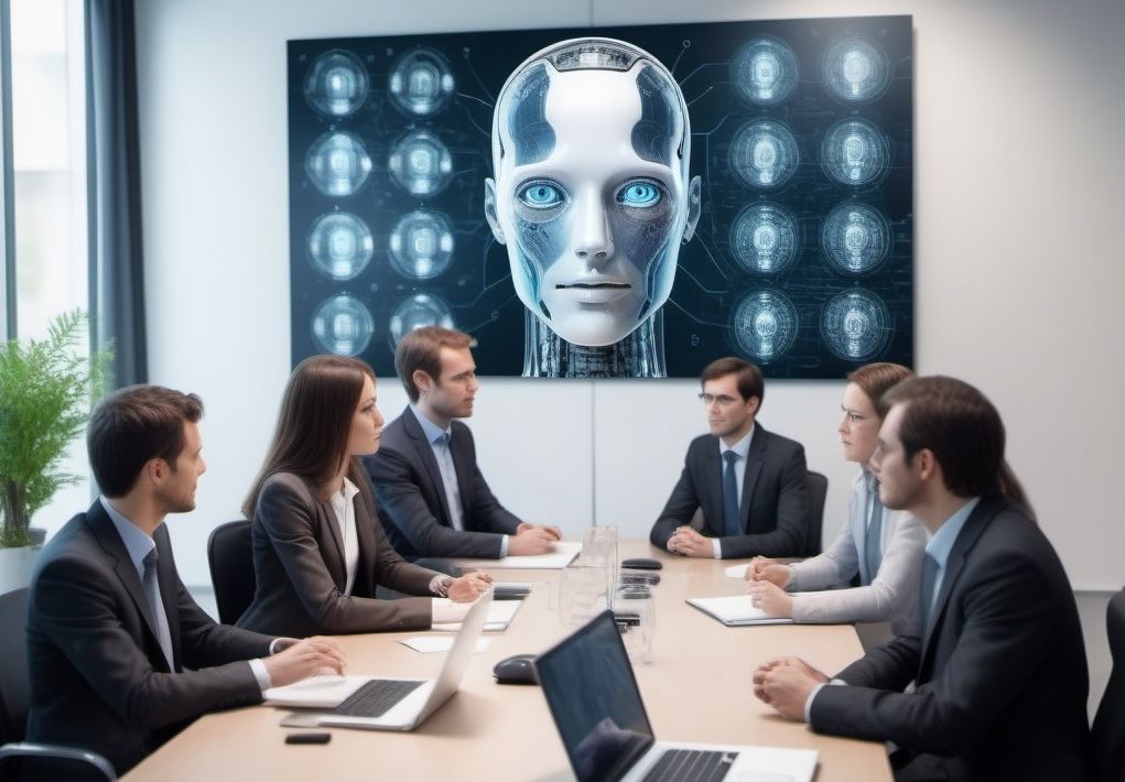
The idea factory
Open Forum | April 24, 2024AI chatbots can offer a novel avenue for idea generation, simulating multidisciplinary workshops that traditionally require significant time and resources. Soon we won’t need people at all, will we?
-

Australia’s healthy health sector
Open Forum | April 24, 2024New research from the Productivity Commission has found Australia’s healthcare system delivers some of the best value for money of any in the world.
-
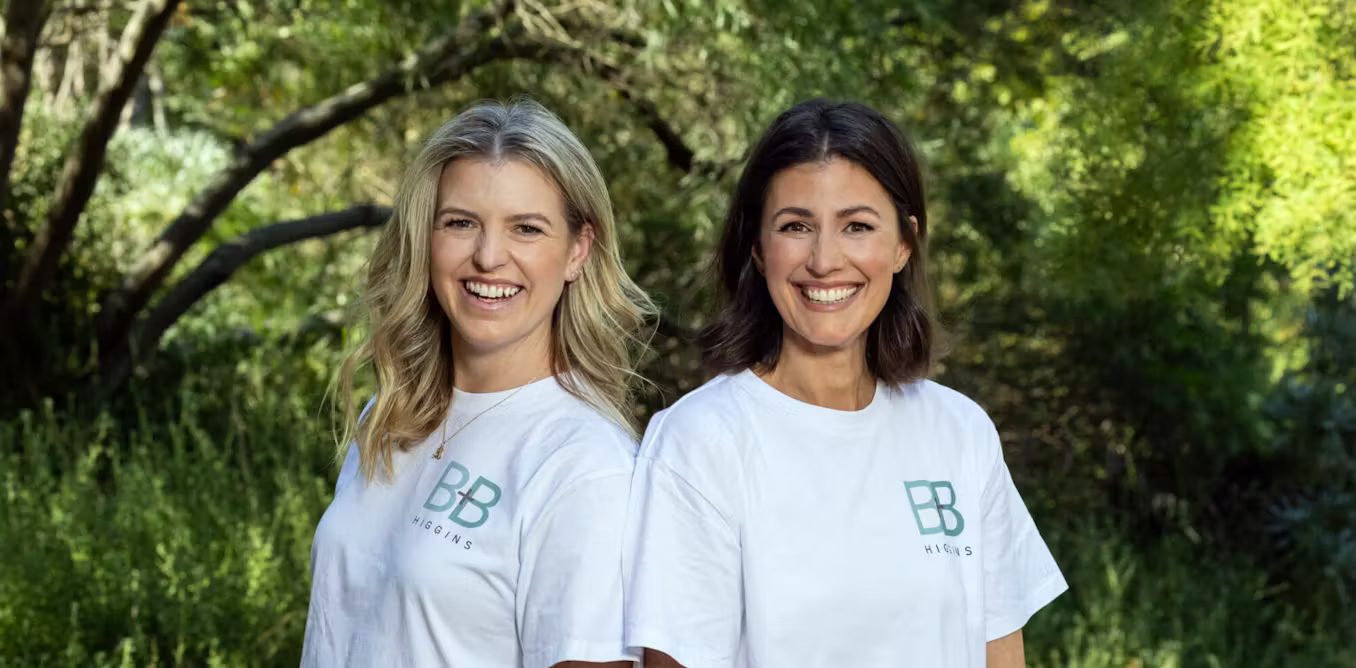
Two into one won’t go
Anne Twomey | April 23, 2024Lucy Bradlow and Bronwen Bock, have announced that they will run as job-sharing independent candidates for the inner-Melbourne federal seat of Higgins but that doesn’t mean they’ll be able to do so.
-

Planning by numbers
Open Forum | April 23, 2024Leading planning and geospatial figures are calling for a coordinated approach to digitising and streamlining Australia’s urban planning systems.
-

Debunking Dunning-Kruger
Eric Gaze | April 23, 2024The Dunning-Kruger effect – that unqualified people over-estimate their ability – is often quoted and uncritically cited, but may be misleading, if not entirely untrue.
-

Can you afford to travel to work?
Katie Miller | April 22, 2024With the cost of commuting rising and city design limitations becoming more apparent, exploring alternative work arrangements, such as flexible or remote work options, becomes increasingly crucial.
-

Encouraging regional climate cooperation
Open Forum | April 22, 2024The Indo-Pacific is facing a steep climate change challenge and Australia’s strong education sector seems ready to do more in the fight.
-

The year the music died
Rod Davies | April 22, 2024While megastars can still draw large crowds, other bands have struggled to find a live audience after the pandemic, spurring the Federal Government to launch an inquiry into Australia’s live music industry just two days before Splendour in the Grass was cancelled.