

Latest Story
-

Who’d be an academic?
Louise Johnson | May 8, 2024Australia’s academics feel insecure and overworked and their careers are getting harder to maintain. What does this herald for the future of Australian universities?
-
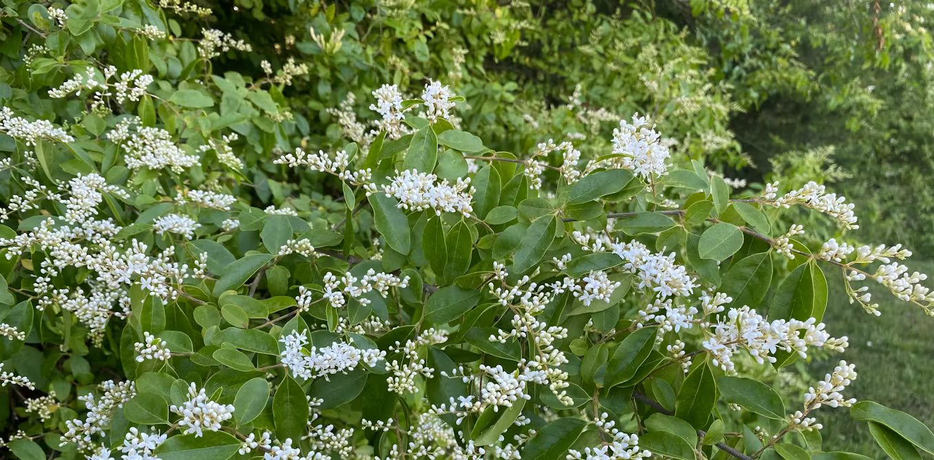
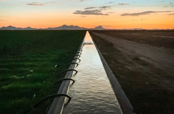
Pummeling the privet
Sonia Graham | May 8, 2024The success of a local rivercare project in tackling invasive privet lies as much in forging social connections as much as the need for environmental action.
-
Science by design
Rebecca Green | May 8, 2024Graphic design can be a powerful tool in enhancing people’s confidence in scientific communications.
-

Red tape ties up university innovation
David Noble | May 7, 2024Australian public universities tout themselves as bastions of innovation and driving forces behind economic growth, but their in-built cultures are getting in the way.
-

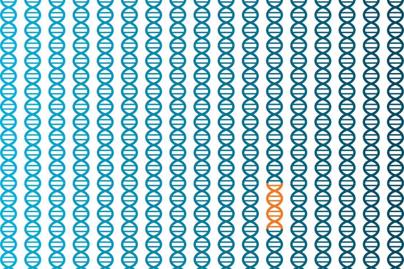
5 clues to the birth of life
Louise Gillet de Chalonge | May 7, 2024The origins of life on Earth remain one of the biggest unsolved questions in science, but five remarkable discoveries over the last five years have shed light on the possible process.
-
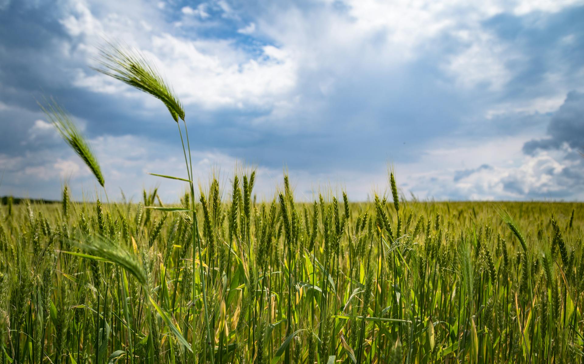
The future of farming
Open Forum | May 7, 2024Australia must act now to accelerate agricultural innovation to achieve productive, resilient and sustainable farming systems by 2050, according to a new report released by Australia’s national science agency, CSIRO.
-

Tackling violence against women
Rosalind Dixon | May 6, 2024A spate of violent attacks on women in recent weeks have put the issue at the front of the political debate, so what can be done to address this problem?
-

Automatic for the people
Oliver Bown | May 6, 2024AI allows people to generate art, writing and now music without any of the talent, technique or practice previously required. Whether anyone else wants to consume this work is another matter.
-

Online advertising, not social media, killed traditional journalism
Amanda Lotz | May 6, 2024Traditional newspapers relied on advertising revenue to subsidise their journalism and so when most adverts shifted online, journalism suffered as a result, and this – rather than the rise of social media – is the crucial factor.
-

In praise of Paul Auster
Paul Giles | May 5, 2024The passing of Brooklyn novelist Paul Auster, who burst onto the literary scene with his ‘New York Trilogy’ in 1987, will sadden lovers of fine writing around the world.
-

Resilient food systems
Rachel Carey | May 5, 2024With increasing shocks to our food supply, we need clear government accountability to ensure the right to adequate food.
-

Backyard safari
Luis Mata | May 5, 2024‘Bioblitz’ events like the City Nature Challenge are advancing science and empowering communities to discover species never seen before in some urban areas.